GIS/GPS
Mapping
New Title
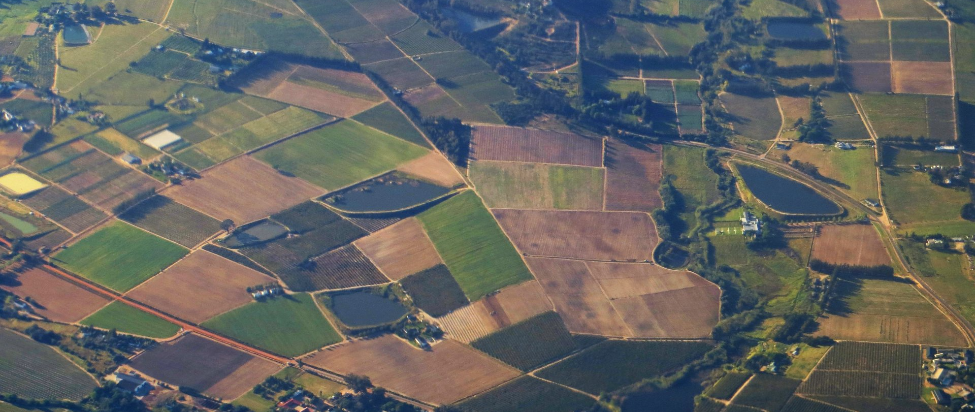
JCG Land Services provides a comprehensive range of GIS (Geographic Information Systems) and GPS (Global Positioning System) services tailored to meet the diverse needs of our clients. Whether you require basic mapping, detailed property ownership research, or complex easement mapping, our team has the expertise to support your project at every stage. From simple data collection to advanced database development and data analysis, we organize complex project data into structured, easily retrievable formats, ensuring that information is accessible and usable for decision-making.
Our GIS capabilities are further enhanced by our mobile GPS services, which allow us to collect precise geographic data in the field using our ATVs. This combination of GIS and GPS technology enables us to deliver accurate, real-time data collection that is ideal for large-scale infrastructure, utility, and renewable energy projects. Whether you're developing a map with embedded property details, environmental considerations, or infrastructure data, our skilled GIS team is equipped to provide custom solutions that fit your project’s needs. With JCG Land Services, you gain a reliable partner dedicated to delivering accurate, efficient, and fully integrated GIS and GPS services for your project’s success.
USEFUL LINKS
STAY INFORMED
You need a helping hand with your project?
We will get back to you as soon as possible
Please try again later

